Loading...
Terrestial Laser Scanner
Static 3D Survey
Terrestrial lidar scanning
With an integrated high-resolution camera, inclinometers, compass, GPS receiver, and weather-proof housing, the Polaris can be deployed in many environments and orientations. Whether on a tripod, vehicle, or moving platform, the outstanding performance of the Polaris makes it the most versatile terrestrial laser scanner on the market.
Explore Terrestial Laser Scanner selection below.
Polaris TLS
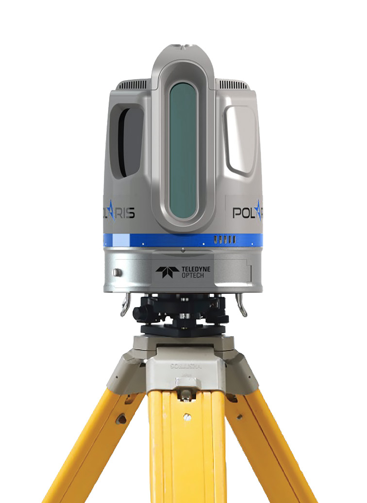
Terrestial Laser Scanner
Survey-grade data with sub-centimeter accuracy and high angular resolution
Learn MoreOne platform, many sensors
Owners can select from three possible range modes to get a system that fits their needs: the high-speed HD mode, now embedded on the flexible Polaris ER, and the long-range Polaris LR. The Teledyne Optech Polaris TLS delivers accurate, precise data faster than ever before, bridging the gap between small, light-weight, short-range sensors and large, long-range, pulsed time-of-flight scanners. Built with surveyors in mind, the Polaris TLS has a user-friendly on-board operator interface with menu-driven operations, plus all the built-in features needed for quickly collecting and referencing data.

Lidar Systems
Production-focused workflow software with automated calibration and boresight capability using rigorous least squares methods and robust bundle block adjustment for both lidar and camera within a single workflow, enabling truly coincident datasets and quantified accuracies
.jpg)
.jpg)
.jpg)
.jpg)
.jpg)
.jpg)
.jpg)
.jpg)